There has been an enormous increase in the amount of bus rapid transit (BRT) in the world over the last forty years. While there are substantial BRT lines in many cities in well-off countries (for example, in Ottawa and Los Angeles), a very large proportion of new construction has occurred in middle-income countries, especially in Latin America. According to the BRTData site, more than half the world’s BRT passengers are in Latin American cities. BRT does not have the aesthetic and practical advantages of being completely separate from the street network, but it provides a fairly speedy transit service for a relatively modest price and can be installed much more quickly than a rail line. It fits medium-density cities in middle-income countries very well. Curitiba, Brazil, was probably the first city to adopt modern BRT on a large scale, something it began to do in 1974. The largest network is in Bogotá, where the first segment of the TransMilenio system opened in 2000.
Quito’s BRT network is less well-known, but Quito may have been the first large Latin American city outside of Brazil to adopt BRT (1995), and it may have more BRT kilometers in relation to its population than any other big Latin American city.1 Its first line, a trolleybus line, called “El Trole” in local Spanish, remains quite distinctive.
I was in Quito last week for the first time since 1978 and naturally spent some time taking a look at transit there.
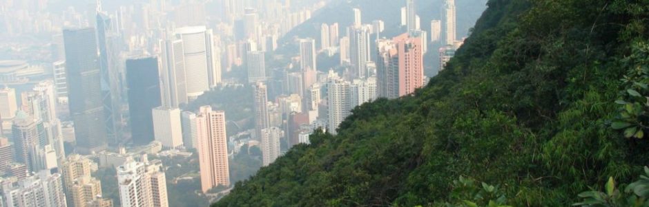
Quito’s transport history can only be understood in light of its physical geography. Most of the population of Quito lives in a long valley at an elevation of approximately 2800 m, stretching something like 30 km north-south but only between 3 and 4 km east-west. On the west is the 4785-m-high active Volcán Pichincha, which forms an absolute barrier (although there is housing on the lower slopes). To the east there are much lower and less regular ridges followed generally by deep valleys, and the city has spread eastward in many places. But the city’s main “desire lines” are definitely north-south. There can be huge traffic jams on major roads, especially near and just to the north of the Centro Histórico, and there is a serious pollution problem.
The city’s human geography has also played some role in determining the history and location of its transit lines. The Centro Histórico—sometimes labeled the best-preserved colonial city center in Latin America—was pretty rundown thirty years ago, but, with the rise of mass tourism and a widespread understanding of the touristic value of having an attractive central city, it has slowly been revived. Buildings have been renovated; museums have been built; policing has improved; and the streets are often pleasantly crowded—even the ones with 20% slopes!

The Plaza Grande in Quito’s Centro Histórico.
Many central-business-district functions can still be found in the Centro Histórico, but, as money from oil and other sources has worked its way through Ecuador’s economy, such activities have grown in scale, and new private and government offices and tourist facilities have sprung up over a fairly substantial zone north of the Centro Histórico, following a universal rule in urban geography that, other things being equal, the CBD tends to move toward wealth. Generally, neighborhoods north of the Centro are much better off (and more traffic-ridden) than neighborhoods south of the Centro, a fact that has played a major role in transport planning.
Until the mid-1990s, the city’s “public” transport consisted entirely of private bus lines, running as in much of the Third World largely when vehicles were filled. There was only light regulation of these lines, and the buses (it was said) often become involved in crashes and were major contributors to the city’s poor air.
Quito’s elaborate BRT system has been created over the last 21 years as a way to ameliorate these issues: to reduce traffic jams, to improve air quality, and to fulfill a desire to have a safe and modern public-transport system. There are three distinct groups of BRT lines. The now 24-km-long Trole is the oldest. The Ecovía, a more traditional BRT line with a length now up to at least 22 km, running generally a few blocks east of the Trole,2 was the second line. The initial segment opened in 2001, and major extensions have been added since. A third set of BRT lines (which has gone under several different names3) began to be constructed along the western edge of Quito in 2004, and significant extensions have followed. Its length is now approximately 25 km (although there are still some short sections where buses do not have their own right of way). Because the major roads along which the western lines were constructed pass something like a kilometer west of the Centro, the western corridor includes a spur that intersects with the two other lines just north of the Centro Histórico. These lines are shown on the accompanying map. All three groups of lines run roughly north-south and serve neighborhoods on both sides of the Centro Histórico, although in every case the northern lines were built first.

Quito’s Metrobús-Q lines and the approximate alignment of the Metro. Base data from OpenStreetMap, modified a great deal.
Quito’s BRT lines benefit from lane separation and fare prepayment but do not otherwise have access to all the possible advantages of BRT. They generally run along major roads that have cross streets. Although there are a few underpasses at major intersections, there is no signal preemption, and buses must stop for red lights. Bus lanes are separated from lanes for cars by a low barrier, but are used for ambulances, police cars, and sometimes (illegally) for other traffic too. There generally isn’t room for passing lanes, and there isn’t much express service. Stops come along every 500 meters or so. Quito’s BRT lines are faster than traditional buses, but they are definitely not speedy.
Nonetheless, the lines do attract quite a number of passengers. The Trole’s weekday passenger load of something like 250,000 is extraordinary in an urban area of 2.7 million. Approximately half a million passengers a day ride the three groups of lines. Crowding—and associated pickpocketing!—are the chief subjects of user complaints. To improve service, the city has been running vehicles ever more frequently and has purchased new and larger buses. About half the vehicles on the Trole line when I was there were “biarticulated” 27-meter-long diesel buses. These can transport 250 passengers, but of course they are noisier and more likely to pollute than the older trolleybuses.

The Santa Clara trole station. Note the “biarticulated” bus.
All of the lines have been built by a public authority, the name of which has changed from the Sistema Integrado de Transporte Metropolitano (SITM-Q) to the Empresa Pública Metropolitana de Transporte de Pasajeros de Quito (EPMTPQ). The lines are referred to by the brand name Metrobús-Q. Operation of the lines has been split between government and private companies. Fares are 0.25 USD on all the lines—and that includes free transfers to feeder lines that serve some terminals. The low fare is said actually to pay for operational costs.
There seems to be a general feeling in Quito that, as successful as the BRT system has been, it has definitely not solved the city’s traffic and pollution problems, and a 22-km-long Metro line has been under construction since 2012. It’s scheduled to open in 2019. The line roughly parallels the BRT routes, although it makes minor detours to serve places (like the University and parts of the Centro Histórico) that the BRT lines miss.

The Iñaquito Metro station under construction, in one of the prosperous residential and commercial neighborhoods north of the Centro Histórico.
I was quite impressed that a medium-sized city in a medium-income country would have put so much energy into building its public transit system.
- Among sources consulted:
(1) The newspaper El Comercio, which has good coverage of transit issues;
(2) Lloyd Wright. “Latin American busways : moving people rather than cars,” Natural resources forum, volume 25, issue 2 (2001), pages 121-134 (also available in JSTOR);
(3) Dario Hidalgo and Pierre Graftieux. Case study : Metrobús-Q, Quito, Ecuador. World Bank, 2008?;
(4) Gerhard Menckhoff. Latin American experience with bus rapid transit. 5th International Environmentally Friendly Vehicle Conference Baltimore, September 10-12, 2012. ↩ - The branch to the south of the Centro Histórico is sometimes just known as the Corredor Sur Oriental. ↩
- The original northern branch is sometimes called the Corredor Central Norte. Its more recent southern extension is sometimes known as the Corredor Sur Occidental. The whole line is sometimes labeled the Troncal Occidental. ↩